
Octantis 2 INS-GNSS
This device, ideal for unmanned land and aerial applications, integrates advanced MEMS technology and a multi-constellation, multi-frequency GNSS receiver.
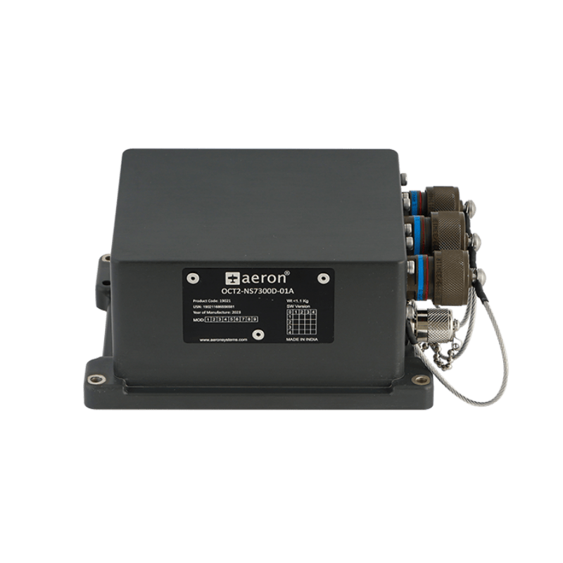
The Octantis 2 INS-GNSS from Aeron Systems is a next-generation inertial navigation system (INS) designed to deliver high-precision positioning and navigation even in environments with intermittent or denied GNSS signals.
This device, ideal for unmanned land and aerial applications, integrates advanced MEMS technology and a multi-constellation, multi-frequency GNSS receiver (L1, L2, L5), providing centimeter-level accuracy through RTK
Main features of the Octantis 2 INS-GNSS
Centimeter-level accuracy: Thanks to its state-of-the-art GNSS receiver and RTK support, the Octantis 2 INS-GNSS achieves position accuracy of up to 2.5 cm CEP and velocity accuracy of less than 2 cm/s.
Superior performance in GNSS-denied environments: Its proprietary IMU and a multimodal Kalman filter ensure position, velocity, and attitude estimates with low drift, even when the GNSS signal is limited or unavailable.
Versatile interfaces: Includes isolated RS232, RS422, Ethernet, and CAN connections, facilitating integration with displays, controllers, and autopilot systems in vehicles and industrial or military platforms.
Military-grade robustness: Certified under MIL-STD-810G, MIL-STD-461F, and MIL-STD-1275E standards, it withstands vibrations, impacts up to 20g, and extreme environmental conditions (operating temperature from -40°C to +85°C).
Multi-constellation compatibility: Compatible with GPS, GALILEO, GLONASS, and NAVIC, ensuring global coverage and redundancy in signal acquisition.
Advanced adjustment and calibration: Includes software for configuration, magnetic calibration, and data logging, optimizing performance in any operational environment.
Highlighted Applications
- Navigation of unmanned land and aerial vehicles
- Inertial guidance and dead reckoning systems
- Platform stabilization and control
- Mapping, surveying, and scientific applications
- Antenna monitoring and orientation
- Defense programs and critical industrial applications